Services
Web GIS
A WebGIS (Web-based Geographic Information System) is a system designed to visualize, analyze, and manage geographic data through a web-based interface. It allows users to interact with maps, perform spatial analysis, and access geospatial data using a standard web browser without the need for specialized GIS software. WebGIS is a powerful tool for integrating and analyzing spatial data on the web. It supports decision-making across various sectors, providing an accessible platform for users to interact with geographic data and conduct spatial analyses. Through advancements in web technologies and GIS servers, WebGIS applications are becoming increasingly essential for organizations that rely on geographic data to solve real-world problems.
Web GIS services in TGRAC are designed to facilitate line departments or other organizations that collaborate with TGRAC in building or enhancing service oriented projects, to contribute required information from their own work space.
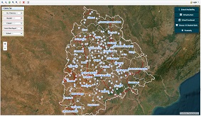
Developed 30+ Web-GIS applications to State Govt., Depts. & hosted at TGRAC Web-GIS portal
Water Resources
-
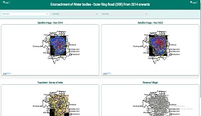
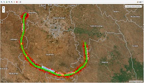
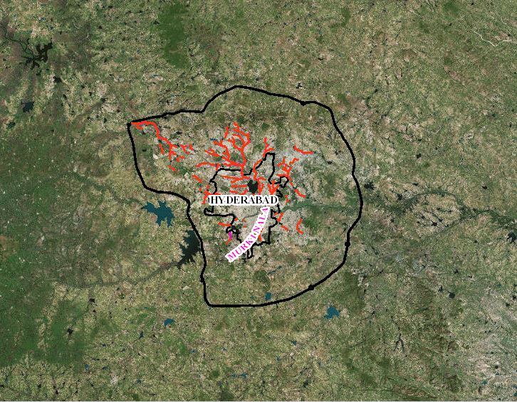
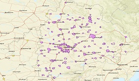
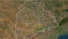
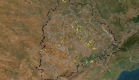
Water bodies (ORR)
Encroachment of Water bodies - Outer Ring Road (ORR) From 2014 onwards
-
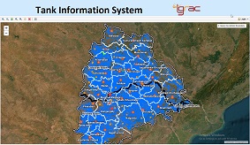
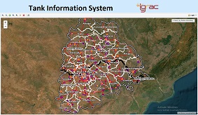
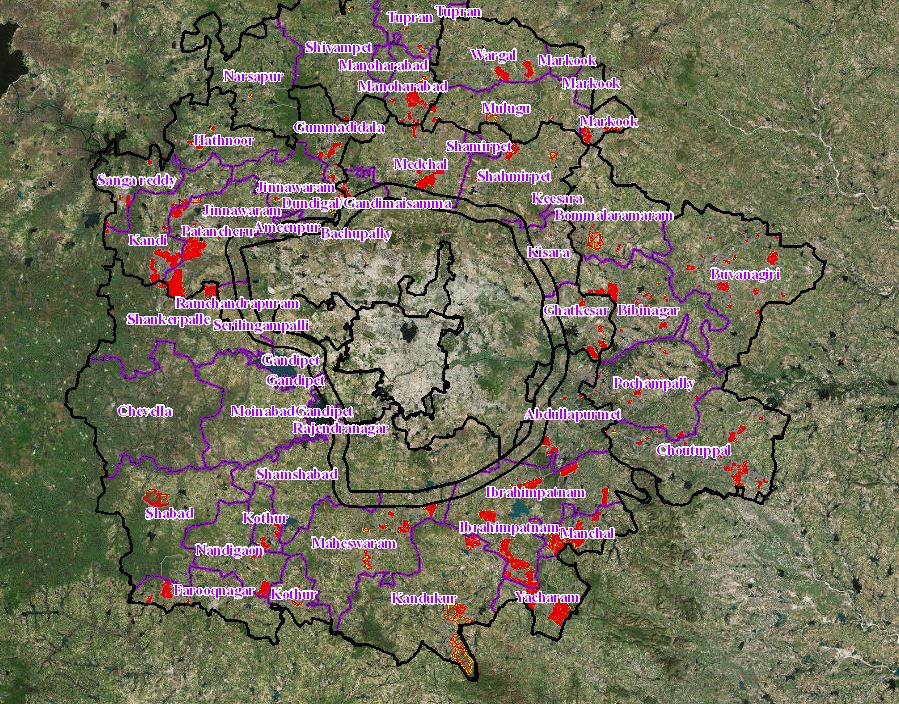
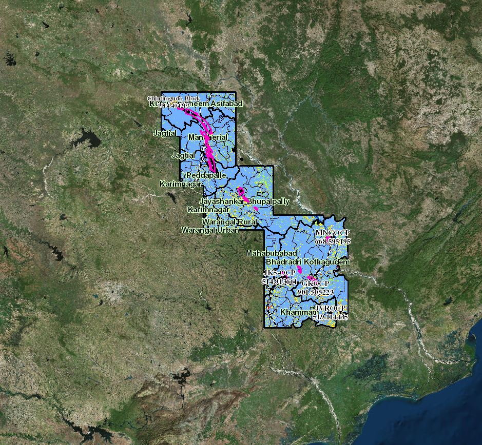
TIS
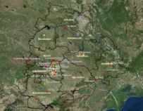
Tank Information System :- Gives comprehensive list of lakes and their details of Telangana state.
-
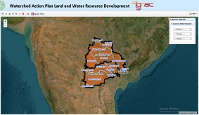
WAP
Watershed Action Plan
-
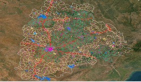
TIS ORR
Tank Information System - ORR
-
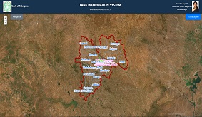
TIS Mahabubnagar
Tank Information System (Mahabubnagar)
-
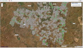
GWD Wells
Ground Water Department Wells
-
MICensus
Minor Irrigation census
-
IandCAD
Command Area Monitoring
Geomatics
-
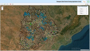
TGSRTC
Road Transport Corporation Information System
-
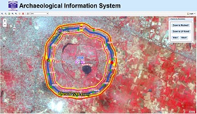
ASI
Survey of Warangal Mud-Fort Wall using Geospatial Technologies
-
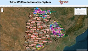
Tribal Welfare
Tribal Welfare Information System
-
Government Hospitals
Government Hospitals
-
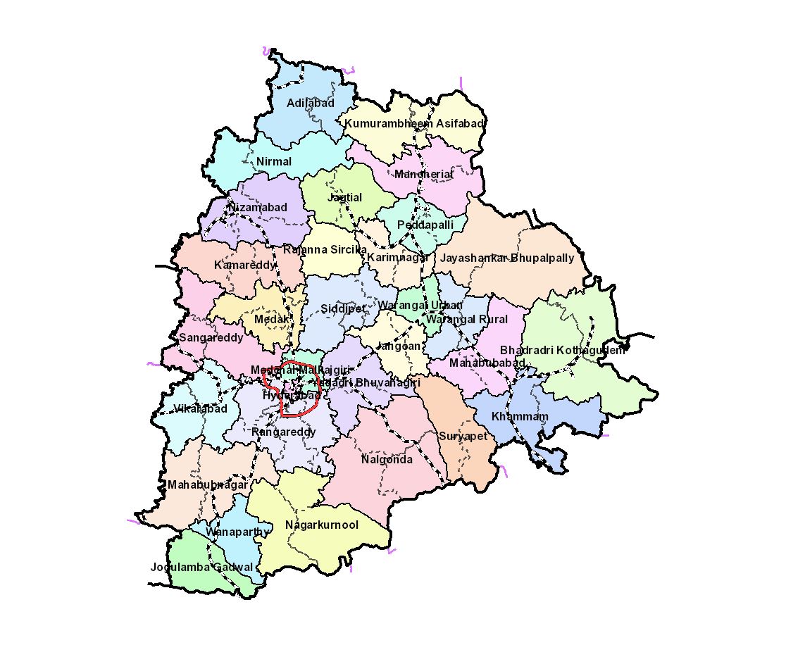
District Formation
District Formation
-
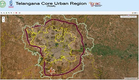
TCUR
Telangana Core Urban Regions
-
RRR
Regional Ring Road
-
SchoolGIS
School Information System
-
RnB
Roads and Buildings Department
Survey of Lands
-
Forest Lands
Forest Lands
-
GHMC Nalas
GHMC Nalas
-
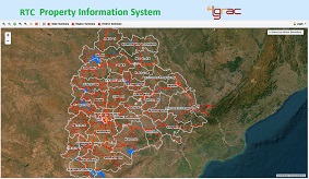
GHMC Dockets
GHMC Property Information System
-
HMDA
HMDA
-
Bhubharathi
Bhubharathi
-
Bhunaksha
Bhunaksha
-
TGIIC
Telangana Industrial Infrastructure Corporation
-
TSPLIS
Telangana Police Properties
-
SnR
Stamps and Registrations
-
EL
Endowment Lands
-
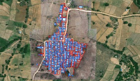
Abadi
Abadi Properties
Mobile GIS
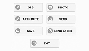
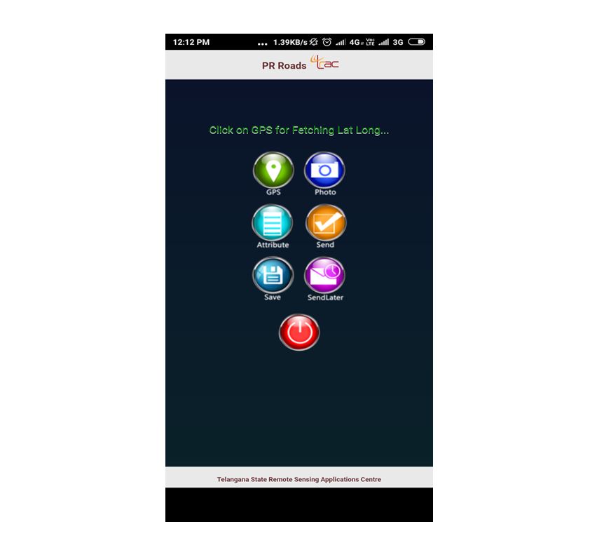
Further to developing web based application, the integration of Geographic Information Systems (GIS) into mobile platforms has also been one of core components of TGRAC developments. GIS Applications on mobiles revolutionized how geospatial data is collected, analyzed, and shared in real-time. Mobile GIS, the extension of GIS technology to mobile devices such as smartphones and tablets, enables users to interact with spatial data while in the field. As industries increasingly rely on location-based data for decision-making, Mobile GIS has become a crucial tool for sectors like agriculture, urban planning, disaster management, and environmental monitoring.
At TGRAC we develop Cross-Platform Mobile Application for Field Data Collection using Cordova (Phone Gap) mobile development framework such as HTML, CSS, JavaScript, jQuery, PHP which helps to avoids developing applications both on android and IOS separately. The mobile applications contain a form having features to collect data such as photos, latitude and longitude values, attribute data, etc. All of the collected data is initially stored on the device locally and later uploaded to the server when connectivity is good.